|
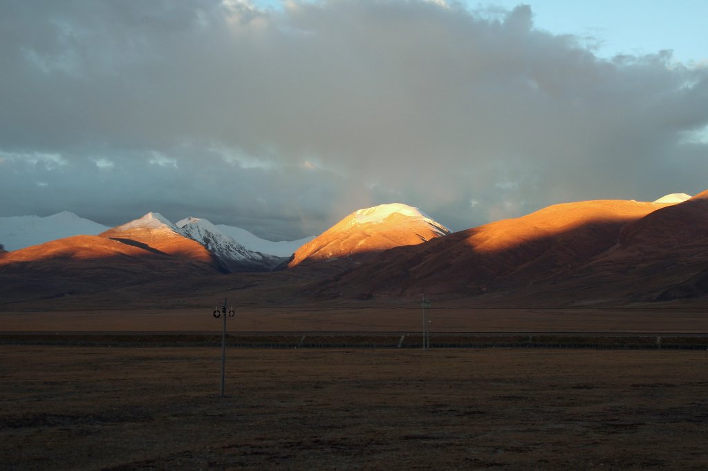 |
| Samdain Kangsang mountains | |
| Latitude: N 30°57'31,20" | Longitude: E 91°39'21,56" | Altitude: 4772 metres | Location: Yungdo | State/Province: Tibet Autonomous Region | Country: China | Copyright: Ron Harkink | See map | |
| Total images: 27 | Help | |
|
|
|
| Samdain Kangsang mountains | |
| Latitude: N 30°57'31,20" | Longitude: E 91°39'21,56" | Altitude: 4772 metres | Location: Yungdo | State/Province: Tibet Autonomous Region | Country: China | Copyright: Ron Harkink | See map | |
| Total images: 27 | Help | |